by Sisemore & Associates | Jan 28, 2026 | Civil Engineer
The modern landscape is a testament to the intersection of human ingenuity and physical science. Every time you drive across a bridge, turn on a water faucet, or enter a commercial building, you are interacting with the work of specialized professionals. For those...
by Sisemore & Associates | Dec 24, 2025 | Land Surveying
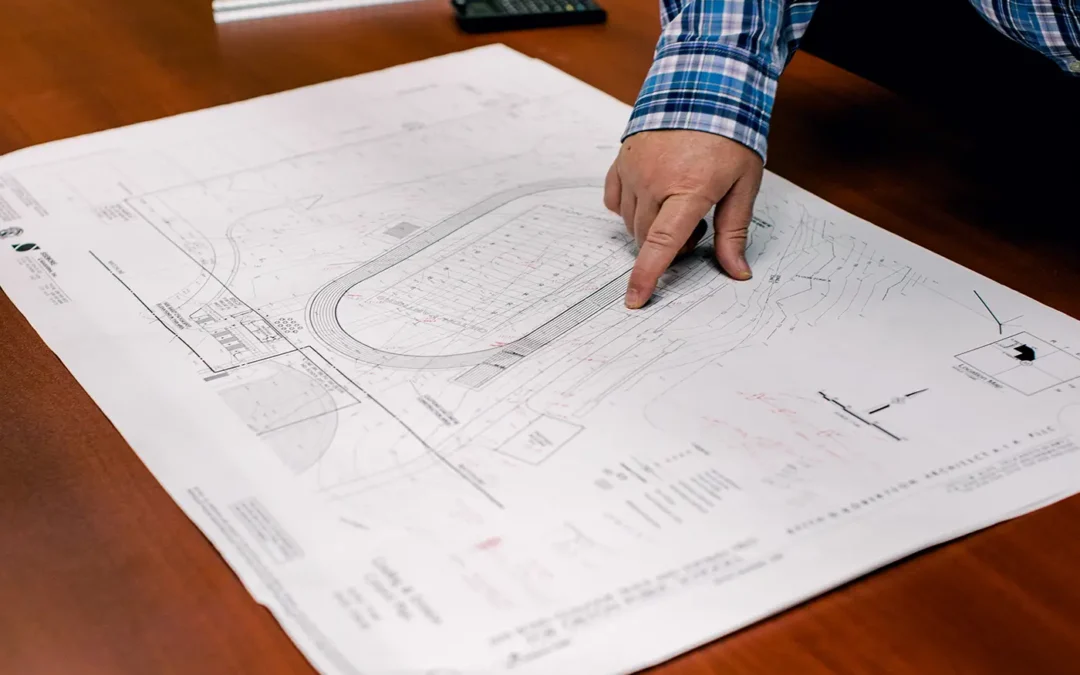
Understanding the symbols on a survey map is essential for anyone reviewing property boundaries, planning improvements, or preparing for development. Because accurate measurements form the foundation for accurate site work, the map must convey information clearly and...
by Sisemore & Associates | Nov 24, 2025 | Drones
In the world of land development and civil engineering, accurate site data is the essential starting point for success. Traditional methods are often labor-intensive. However, modern technology offers a powerful alternative: the aerial survey. An aerial topographic...
by Sisemore & Associates | Oct 22, 2025 | Land Surveying
Zoning is a legal framework of local regulations that divides a municipality into districts and outlines what is permissible on each parcel of land within those districts. This system ensures public safety and aids in managing a city’s responsible growth;...
by Sisemore & Associates | Apr 21, 2025 | Surveying Services
Unmanned Aerial Vehicles (UAVs), or drones, have become a valuable addition to the tools surveyors use to gather and analyze land data. Now able to map terrain from above, these drones allow surveyors to capture highly accurate, large-scale data. This approach,...