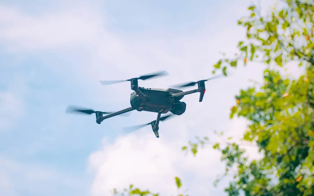
by Sisemore & Associates | Jun 19, 2026 | Drones
The use of drones in construction has changed how project teams collect data, monitor progress, and manage job sites. What once required large crews, extended timelines, and manual measurements can now be completed faster and with greater accuracy using unmanned...
by Sisemore & Associates | May 28, 2026 | Land Surveying
In the world of land development and civil engineering, precision is the foundation of every successful project. Before a single foundation is poured or a property line is finalized, a specialized document known as a survey plat must be generated. This technical...
by Sisemore & Associates | Apr 22, 2026 | Land Surveying
An ALTA survey is a detailed boundary survey performed in accordance with standards set by the American Land Title Association (ALTA) and the National Society of Professional Surveyors (NSPS). It is used to clearly establish property boundaries while identifying...
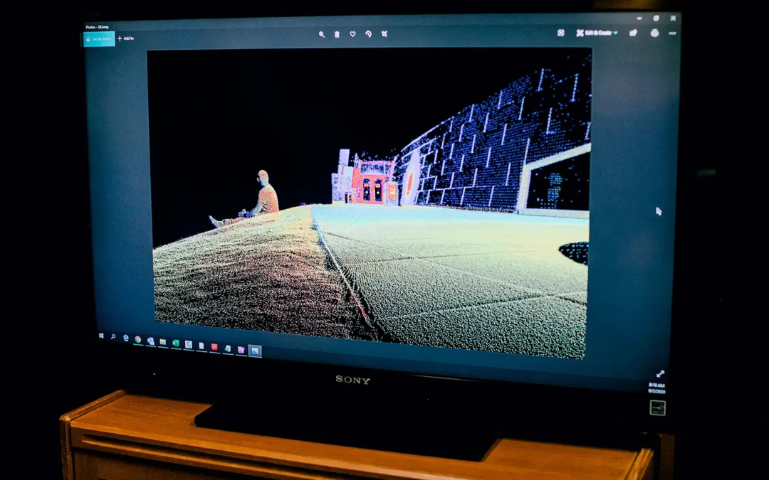
by Sisemore & Associates | Mar 23, 2026 | Land Surveying
3D laser scanning has revolutionized numerous industries, from surveying and construction to historical preservation and entertainment. This technology allows for the rapid, high-precision capture of physical objects and environments, transforming them into digital...
by Sisemore & Associates | Feb 26, 2026 | Land Surveying
Land surveying is a critical component of any land development or construction project, ensuring accuracy and preventing costly disputes. Whether you’re planning to build a home, divide property, or develop commercial real estate, understanding the role of a...