The use of drones in construction has changed how project teams collect data, monitor progress, and manage job sites.
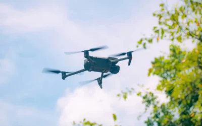
The use of drones in construction has changed how project teams collect data, monitor progress, and manage job sites.
An aerial topographic survey provides a comprehensive, three-dimensional view of the earth’s surface, transforming how professionals analyze, plan, and execute projects.

When it comes to Oklahoma land surveying, one tool changing the industry is mapping drones. A significant benefit of a land survey using drones Tulsa is that the data perfectly matches what surveyors are able to determine from the ground while bringing in a greater perspective.

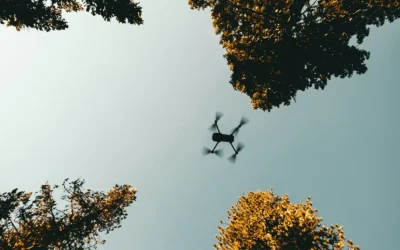
When it comes to land surveying, the right tools are essential to quickly and accurately receive information. For land surveying Tulsa, a mapping UAV is a helpful tool to gain all data needed for a...