by Sisemore & Associates | Mar 23, 2026 | Land Surveying
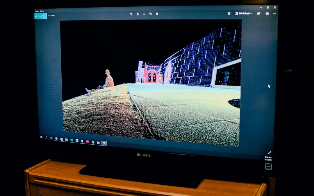
3D laser scanning has revolutionized numerous industries, from surveying and construction to historical preservation and entertainment. This technology allows for the rapid, high-precision capture of physical objects and environments, transforming them into digital...
by Sisemore & Associates | Feb 26, 2026 | Land Surveying
Land surveying is a critical component of any land development or construction project, ensuring accuracy and preventing costly disputes. Whether you’re planning to build a home, divide property, or develop commercial real estate, understanding the role of a...
by Sisemore & Associates | Jan 28, 2026 | Civil Engineer
The modern landscape is a testament to the intersection of human ingenuity and physical science. Every time you drive across a bridge, turn on a water faucet, or enter a commercial building, you are interacting with the work of specialized professionals. For those...
by Sisemore & Associates | Dec 24, 2025 | Land Surveying
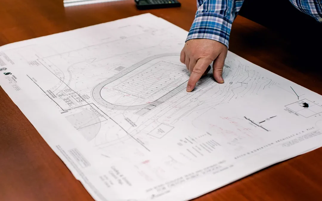
Understanding the symbols on a survey map is essential for anyone reviewing property boundaries, planning improvements, or preparing for development. Because accurate measurements form the foundation for accurate site work, the map must convey information clearly and...
by Sisemore & Associates | Nov 24, 2025 | Drones
In the world of land development and civil engineering, accurate site data is the essential starting point for success. Traditional methods are often labor-intensive. However, modern technology offers a powerful alternative: the aerial survey. An aerial topographic...