by Sisemore & Associates | Feb 20, 2022 | Land Surveying
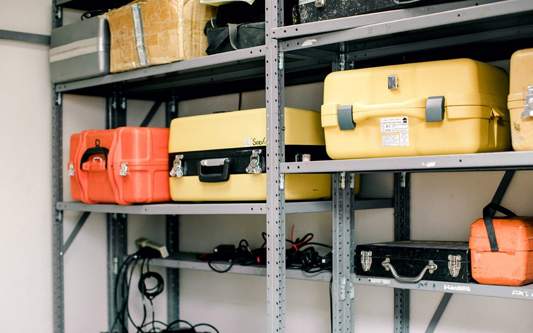
ALTA surveying Tulsa services are used to provide title companies or lenders with the survey data and information needed to issue American Land Title Association or Extended Coverage Title Insurance policies. These highly comprehensive surveys are conducted to create...
by Sisemore & Associates | Dec 28, 2021 | Land Surveying
When conducting a topographical survey Tulsa, an Oklahoma surveying technician locates and describes a property’s features and elevations. The data from the Oklahoma topographical survey is used to create topographical maps, which provide essential information...
by Sisemore & Associates | Dec 24, 2021 | Civil Engineer
Oklahoma civil engineering projects involve the building of systems or structures in the natural environment. Some of the most frequently constructed civil engineering Tulsa works include bridges, roads, dams, sewers, airports, and electrical grids. Because of the...
by Sisemore & Associates | Nov 25, 2021 | GPS Surveying
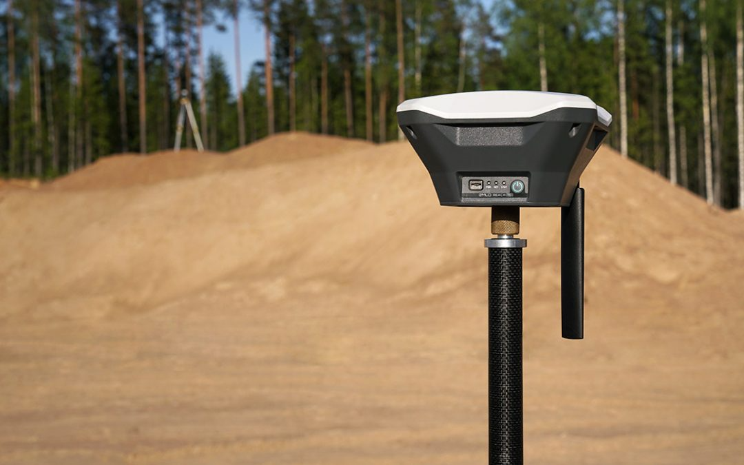
During a land survey, Tulsa surveying technicians gather information about the positions of specific points, including the angles and distances between them. GPS survey Tulsa technology helps technicians make these calculations quickly and accurately. Through an...
by Sisemore & Associates | Oct 31, 2021 | GPS Surveying
GPS survey Tulsa technology has had a significant impact on the surveying industry. Any land survey involves gathering data about the positions of specific points to determine the distances and angles between them. GPS technology allows those measurements to be made...