by Sisemore & Associates | Dec 28, 2021 | Land Surveying
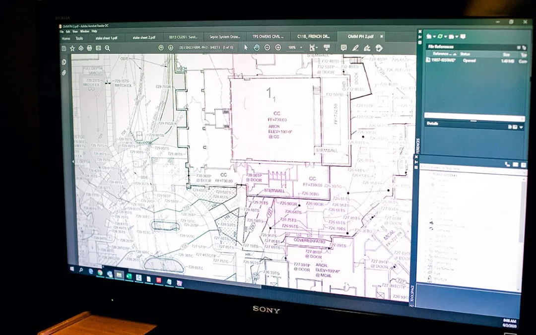
When conducting a topographical survey Tulsa, an Oklahoma surveying technician locates and describes a property’s features and elevations. The data from the Oklahoma topographical survey is used to create topographical maps, which provide essential information...
by Sisemore & Associates | Nov 28, 2021 | Land Surveying
Tulsa surveying services are useful in many ways. For example, to receive a loan to purchase or develop a property, you will likely need to provide a title policy to ensure that the lender’s investment is worth it. In that situation, you need ALTA surveying...
by Sisemore & Associates | Aug 31, 2021 | Land Surveying
Working with the right Tulsa surveying technician will help make any significant project a success. In general, land surveys are conducted to locate and measure both natural and artificial features. There are various types of surveying, so it helps to know which one...
by Sisemore & Associates | Aug 2, 2021 | GPS Surveying, Land Surveying
At Sisemore & Associates, we focus on providing accurate data quickly and efficiently. One way that we do this is through our GPS survey Tulsa services. GPS is an essential part of Oklahoma land surveying because it increases speed and productivity while providing...
by Sisemore & Associates | Jul 30, 2021 | Land Surveying, Construction Layout
An essential first step of any significant construction project is having the area reviewed by a land surveying Tulsa technician. The survey technician will locate, describe, monument, and map out the land parcel’s boundaries and corners, so you can determine...