Fences don’t mark property lines, and old surveys go out of date. Five land surveying myths Tulsa property owners believe, and what’s actually true.
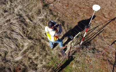
5 Common Land Surveying Tulsa Myths Debunked
read more

Fences don’t mark property lines, and old surveys go out of date. Five land surveying myths Tulsa property owners believe, and what’s actually true.

During a topographical survey Tulsa, a technician locates and depicts all of the natural and artificial features on a property…
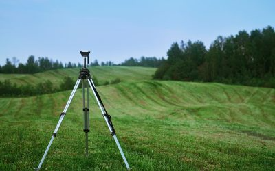
ALTA surveying Oklahoma involves highly specialized and precise surveys that follow the standards set by the American Land Title Association…

To understand the use of geoids and their importance for a GPS survey, it helps to gain a more in-depth understanding of it.
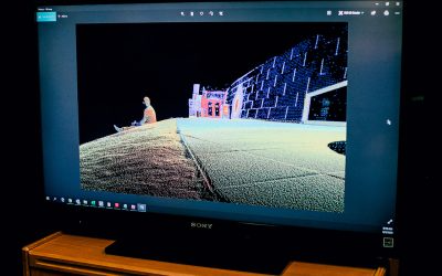
The experts in the land surveying Tulsa industry are constantly perfecting new methods and technologies to conduct surveys more accurately, efficiently, and quickly.
ALTA surveying Oklahoma services are often required for commercial real estate transactions and when purchasing vacant plots of land…
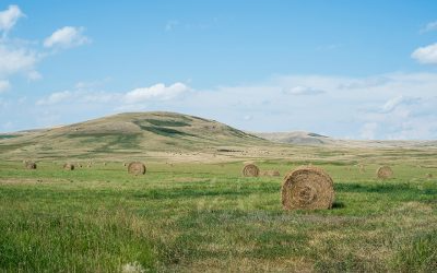
A practical checklist for Tulsa property owners: what to clear, unlock, and gather before a topographic survey so the crew gets accurate data on the first visit.
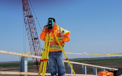
Land surveying Tulsa has an essential role… Although they are needed frequently, their importance is not always fully understood.

The data from the Oklahoma topographical survey is used to create topographical maps, which provide essential information for a wide variety of projects.