by Sisemore & Associates | Sep 29, 2021 | Construction Layout, GPS Surveying
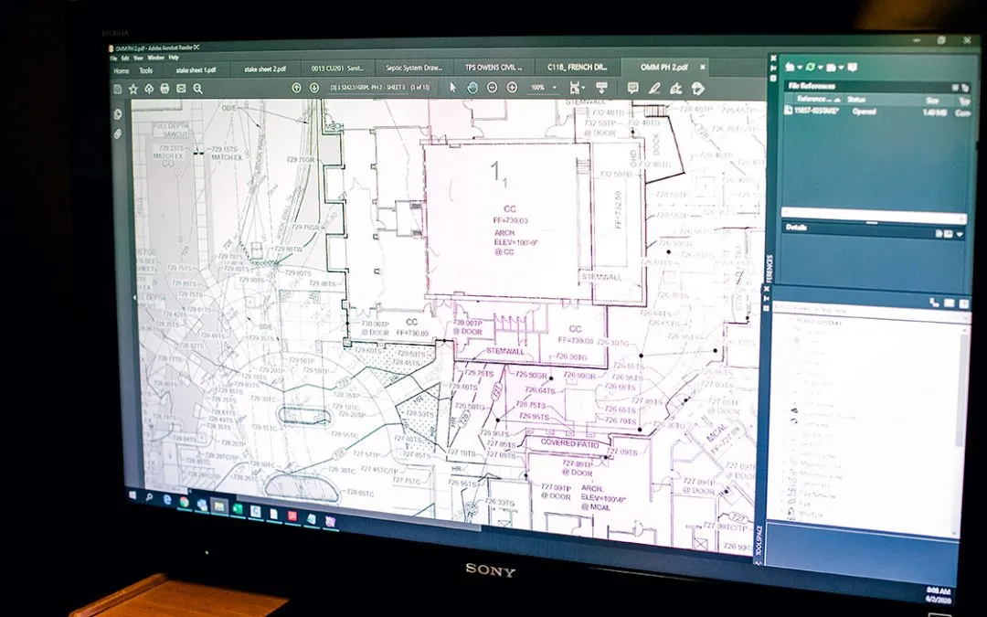
Having a topographical survey Tulsa conducted is an essential step in the construction process. Before construction on any new structures begins, the land surveying Tulsa technician will assess the property to provide important information to the designer and...
by Sisemore & Associates | Aug 31, 2021 | Land Surveying
Working with the right Tulsa surveying technician will help make any significant project a success. In general, land surveys are conducted to locate and measure both natural and artificial features. There are various types of surveying, so it helps to know which one...
by Sisemore & Associates | Jul 2, 2021 | GPS Surveying
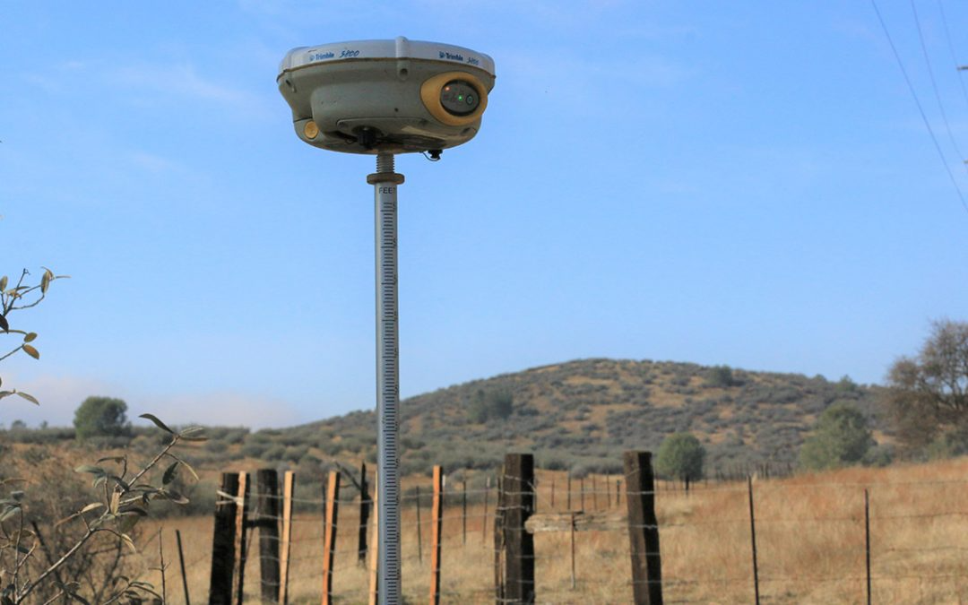
When conducting a GPS survey, a surveying technician gathers data about the positions of specific points and records the angles and distances between those points. Through this data, surveyors establish property lines, create maps, and provide needed information to...
by Sisemore & Associates | May 29, 2021 | Construction Layout
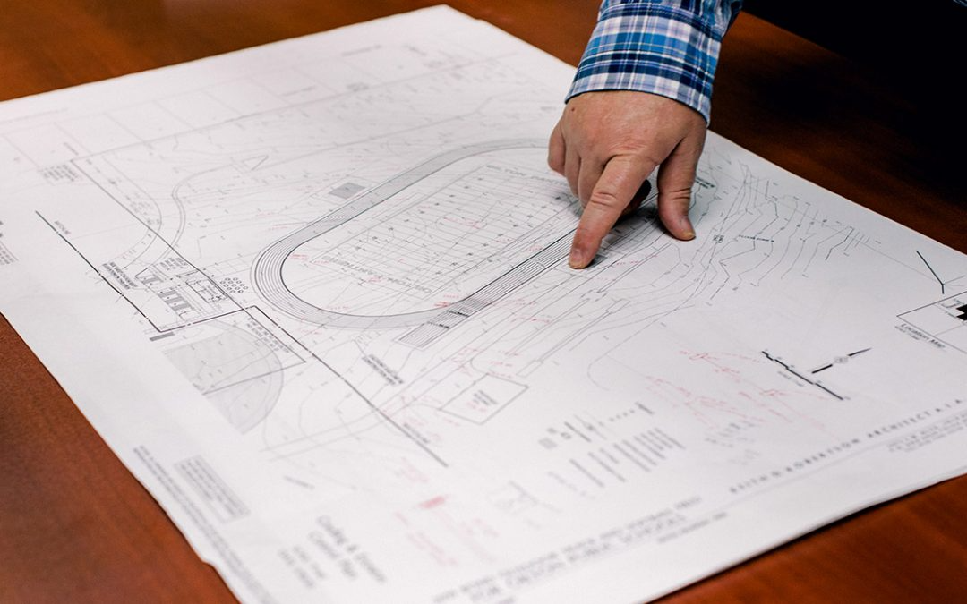
Although Oklahoma land surveying and architecture are very different in many ways, the two are tied very closely together when it comes to creating a structure. Before beginning a major construction project on a property, there is much more to the initial planning...
by Sisemore & Associates | May 5, 2021 | Drones
When it comes to land surveying, the right tools are essential to quickly and accurately receive information. For land surveying Tulsa, a mapping UAV is a helpful tool to gain all data needed for a successful project. When flying a UAV, there are some factors to...